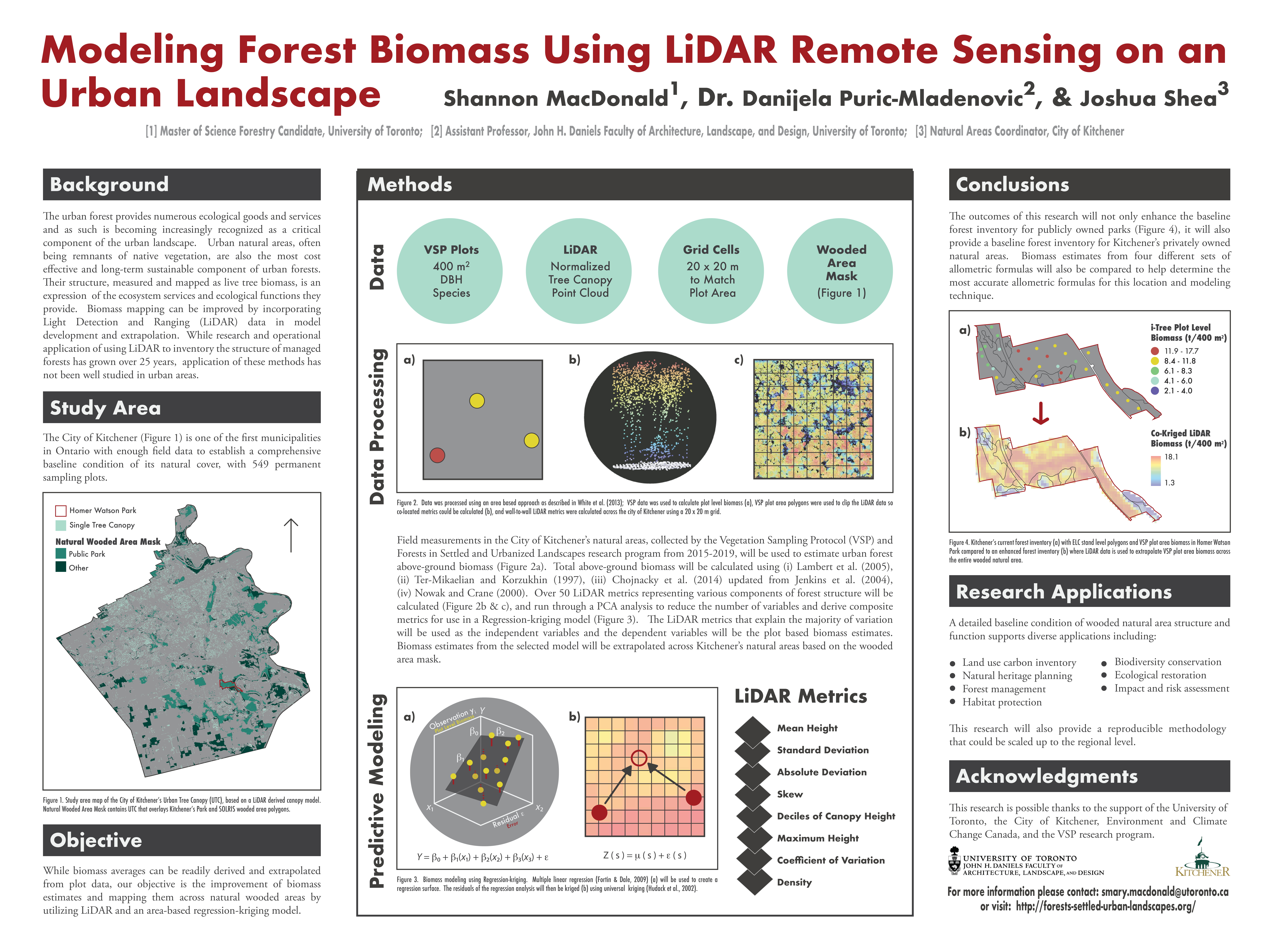
| Conserving the urban forest and enhancing its diverse ecological and biodiversity functions has
become a priority for many municipalities in southern Ontario. Natural areas, characterized by
self-sustained natural and/or semi-natural vegetation, are the most cost effective and sustainable
component of urban forests. The structure of these natural areas, measured as live tree biomass,
determines many of the ecosystem services and ecological functions they provide. The City of
Kitchener has established over 500 permanent sampling plots using the Vegetation Sampling
Protocol, in collaboration with the Faculty of Forestry at the University of Toronto, to help
understand baseline conditions of their natural areas. While biomass estimates can be readily
derived and extrapolated from plot data, our objective is to improve estimates across forest patches
by utilizing LiDAR. Our goal is to model biomass using a regression-kriging model to establish a
relationship between LiDAR metrics and allometrically derived plot level total tree biomass
estimates. LiDAR metrics based on canopy height, the coefficient of variation of canopy height,
and canopy density were derived using FUSION software developed by the U.S. Forest Service.
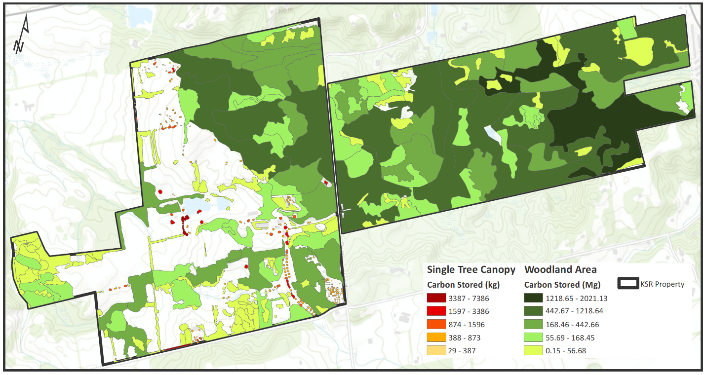
The results of this analysis will include spatial visualizations of biomass and carbon dynamics at a
20-m resolution across all public and private natural areas in Kitchener. The outcomes of this
work will provide a detailed baseline condition of natural area structure and function, supporting
diverse applications including, natural heritage planning, forest and biodiversity management,
habitat protection, and ecological restoration.
|

