| Depending
on where
we live and what
surrounds us, we might perceive forests
as larger green areas spanning
entire
landscapes, woodlots within an urban-agricultural matrix, riparian forests along streams, city trees and urban natural areas, or
some combination of these forest types. Each forest type serves many
ecological
and social functions and provides various benefits to society. | |
| In settled landscapes, forests are managed for their traditional values, but are also a component of land use planning, often as part of the municipal green system network (e.g., natural heritage systems). These green systems link urban areas with the surrounding landscape, protect biodiversity and support many ecological functions and processes necessary to maintain populations of native plant and animal species. They also provide a multitude of ecological goods and services, including making the urban environment greener, ameliorating urban microclimate, improving air and water quality, reducing storm water runoff, flooding and erosion, and providing recreational and social values to the community. | 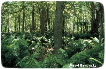 |
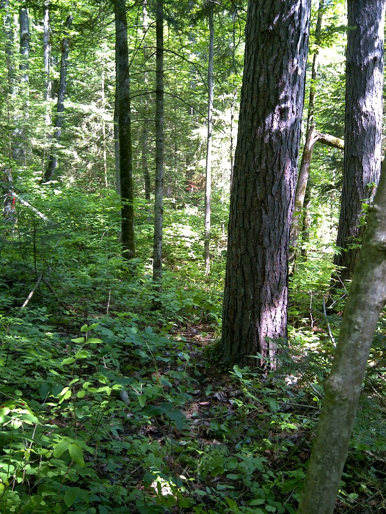
Over the past 50 years, the landscapes, forests and natural ecosystems of southern Ontario have been altered and fragmented more rapidly and extensively than in any comparable period in history. From the beginning of the European settlement until today, southern Ontario has lost 80% of all woodlands and riparian and swamp forests. As a result, forests in these landscapes are composed of native remnants, secondary growth forests, successional patches, hedgerows, plantations and urban greenspaces. These forest types are embedded and interconnected within different land use types such as urban parks, residential areas, agricultural lands and open areas. | |
Thus, depending on the purpose (e.g. management, restoration, mapping, land use planning, etc.), forests can be perceived in many ways. Some of the most common ways forests are described and labelled are based on: | |
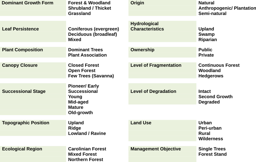
One international forest and land classification system does not exist, and different governments and organizations have different methods for forest classification. Some examples include the Canadian Forest Ecosystem Classification, Ontario’s Ecological Land Classification, British Columbia’s Biogeoclimatic Ecosystem Classification, United Nations Classification of Forests.
Woodlands
Woodlands are forest fragments within urban-rural landscapes.
Forest Remnants
Forest remnants are forest patches that were never completely cleared; they may have been heavily managed or may have characteristics of old-growth forests.
Hedgerows
Hedgerows are linear natural remnants or plantations. Typical of settled landscapes, hedgerows are an indication of fragmentation.
Plantation Forests
Plantation forests are a type of managed, even-aged forest in which trees, generally of the same species, are planted for wood production purposes or for restoration purposes.
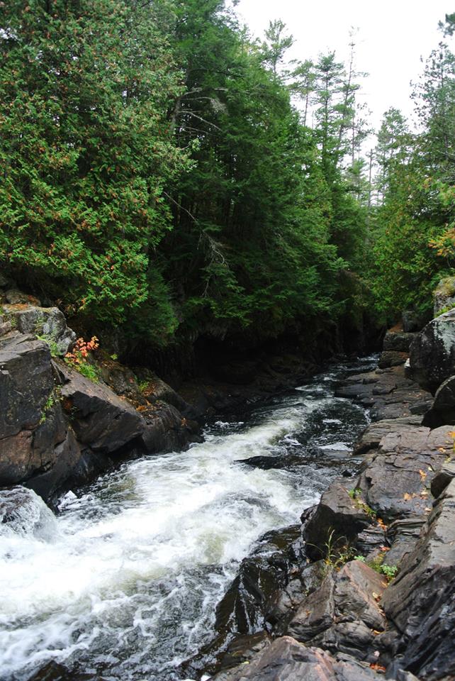
Riparian & Swamp Forests
Riparian and swamp forests are influenced by hydrology. Riparian forests are areas adjacent to a body of water such as a river, stream, lake, pond, marshland, or reservoir. Swamp forests have a high water table.
Urban Forests
Urban forests are composed of single trees and
urban natural areas. Single trees and natural areas are
spread across different land uses from residential, industrial,
institutional lands, parks and open spaces, and differ in density and
canopy cover.
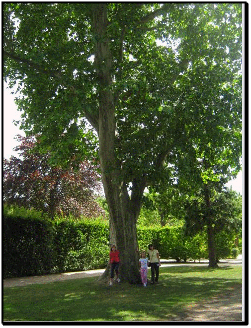
Individual / Single Trees (e.g., street, boulevard, single park trees) can be described according to their characteristics such as species name, age, height, diameter and canopy cover. This component of the urban forest is largely driven by land use patterns and human influence, from tree selection to tree management.
Natural Areas such as woodlots, ravines and other open areas with self-sustained vegetation make a significant component of the urban land use fabric. They are composed of natural and semi-natural vegetation and managed for their multiple ecological and social functions.