Results
Project Home
VSP Home
About the Watershed
Landowner's Page
About the Team
Results
FAQ
Gallery
Contact us
Results
Preliminary Results 2017
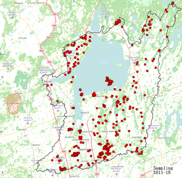
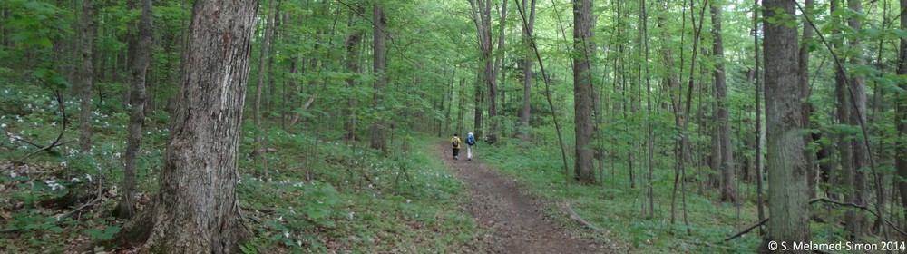
A total of 422 permanent plots were established throughout Lake Simcoe watershed beginning from June until August 2017. Field sampling was conducted by University of Toronto field teams, in partnership with the OMNRF, consisting of seven crews of two. Sampling captured nineteen different subwatersheds including Barrie Creeks, Beaver River, Black River, East Holland, Georgina Creeks, Georgina Island, Hawkestone Creek, Hewitts Creek, Innisfil Creeks, Lovers Creek, Maskinonge River, Oro Creeks North, Oro Creeks South, Pefferlaw River, Ramara Creeks, Talbot River, Thorah Island, West Holland, and Whites Creek. The only subwatersheds not sampled in 2017 were Fox Island and Snake Island.
Data from the VSP network are being used to derive several indicators of terrestrial ecosystem condition. Of these, six to eight indicators are included in the calculation of a composite measure of ecosystem quality, depending the habitat type being examined (i.e. forests, wetlands, or other natural vegetative cover). The criteria are 1) floristic quality; 2) weed index; 3) aboveground biomass; 4) dead aboveground biomass; 5) forest regeneration; and 6) vertical forest structure index.
Preliminary Research Results
 |
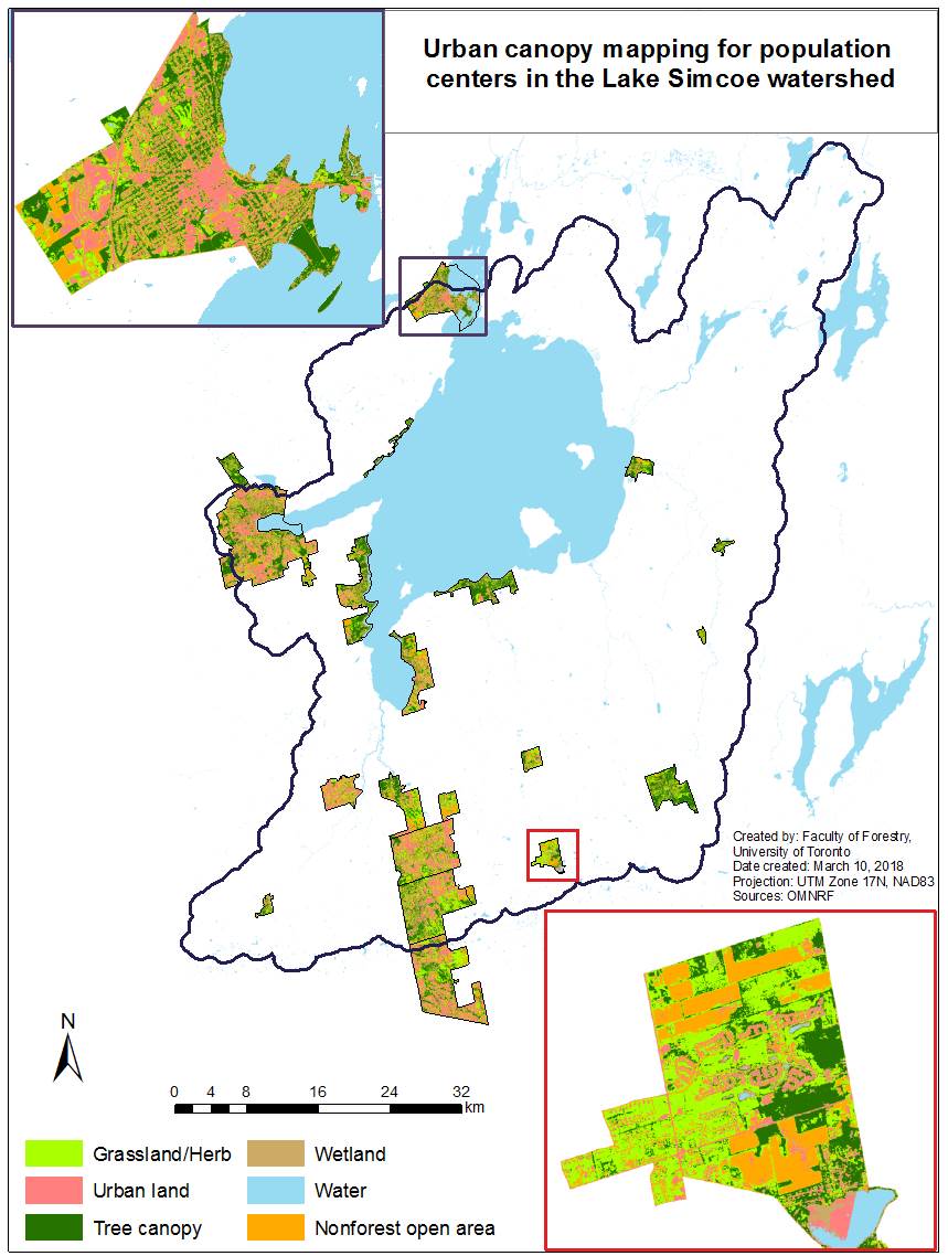 |
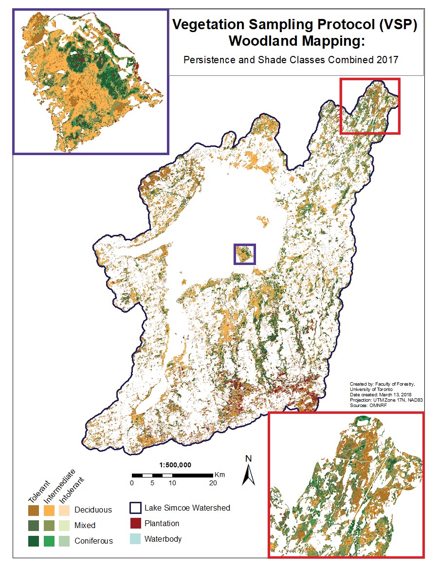
| Forest classified by successional stages. Biomass, carbon and CO2 are derived for each of the mapped forest classes. | Urban canopy mapping for population centers in the Lake Simcoe Watershed. |
 |
|
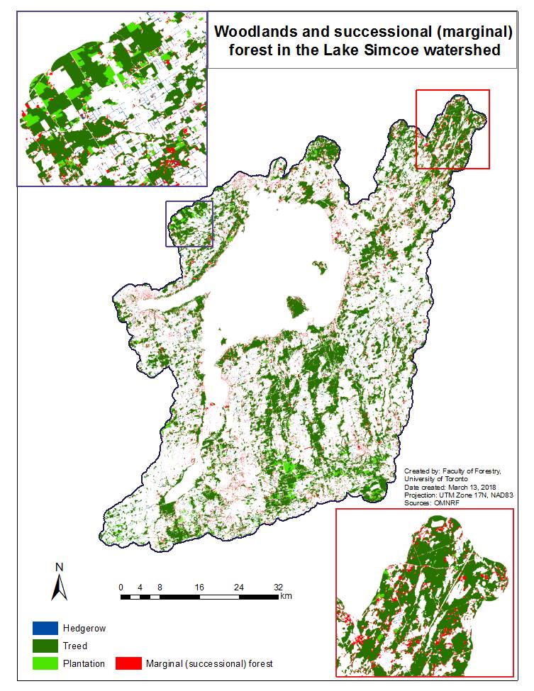
| Early successional forest mapping in the Lake Simcoe Watershed. | |
MSc Thesis: Katherine Baird - Floristic Quality as an Indicator to Inform Natural Areas Management in Lake Simcoe Watershed
Floristic
Quality Assessment (FQA) is used to describe the quality of natural
areas based on plant species composition. Despite widespread
application of FQA in the USA, less research exists in Ontario. To
better understand FQA’s monitoring, reporting, and management relevance
to southern Ontario I investigated: (1) performance of FQA against a
composite disturbance gradient; and, (2) differences in FQA between
different vegetation communities and successional stages. My work
utilized monitoring data from 422 Vegetation Sampling Protocol plots
sampled throughout Lake Simcoe watershed. FQA indices were found to
significantly decrease in response to increasing disturbance,
outperforming native species richness and percent exotic species as
indicators of disturbance. Values of FQA indices differed among
vegetation communities and successional stages, indicating comparisons
should not be made across natural area classes. I demonstrate FQA as an
effective tool for assessing natural cover quality; however,
appropriate interpretation and management application require
understanding FQA’s properties.
Thesis Available at UoT
© Template
designed by S. Melamed-Simon
2014
Last update Febuary, 2020