Plants and Vegetation Resources
Common native plants are species that occur naturally in a given area. Identifying plant species composition at sampling sites helps define vegetation communities and associated species, including wildlife.
VSP collects data on plant species across all layers of vegetation, from groundcover to canopy, to provide a fuller picture of community composition and structure. Because sampling plots are random and geographically referenced, vegetation can also be modeled across entire landscapes and used to help predict species distributions under future climates.
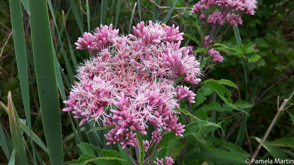
Common Plants
Learning to recognize common native plants helps describe site conditions, define vegetation communities, and understand how plants and wildlife interact on the landscape.
Plant species information supports inventory work, ecological interpretation, and vegetation mapping. It also helps connect local site observations with larger landscape patterns.
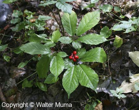
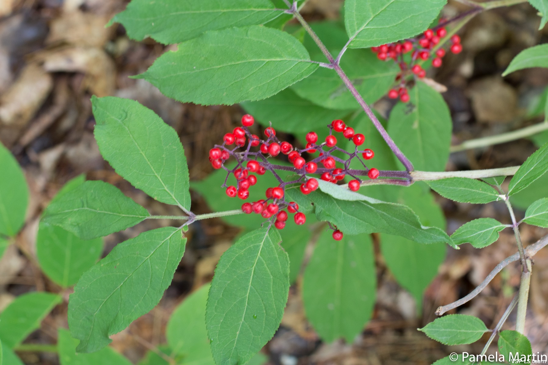
Plant Species at Risk
Species at risk include plants identified as endangered, threatened, of special concern, or extirpated. These plants are of conservation concern because their populations are low or declining.
Comprehensive inventory and monitoring are important for locating sensitive species, understanding habitat needs, and supporting recovery planning and habitat management.
VSP collects information on the location, habitat, and abundance of species at risk, which can help identify areas needing conservation attention and improve distribution modeling.
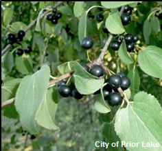
Invasive Plants
Invasive plants are non-native species that spread aggressively and can displace native plants, reduce biodiversity, and alter ecosystem structure and function.
Species such as Common Buckthorn (Rhamnus cathartica) and Garlic Mustard (Alliaria petiolata) can suppress regeneration and change forest composition. Effective management depends on sound inventory and monitoring information, early detection, and continued tracking over time.
VSP supports invasive species work through an established monitoring network used to determine the location, frequency, and abundance of invasive species for both baseline condition and long-term monitoring.
- Natural Areas Health Monitoring in Guelph, ON (2016)
- Integrating invasive species management in forest and landscape conservation (Puric-Mladenovic, 2016) (PDF)
- Creating an Invasive Plant Management Strategy: A Framework for Ontario Municipalities (Sherman, 2015) (PDF)
- Towards improved understanding of invasive plant species in southern Ontario (Puric-Mladenovic, Bradley and Strobl, 2012) (PDF)