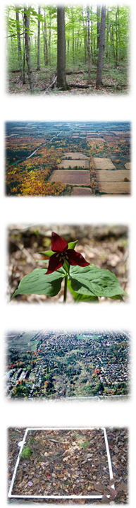
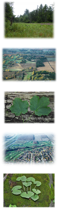
VSP Applications
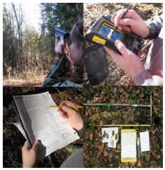
Inventory and data collection is the most fundamental component of any long-term natural resources management, conservation, planning or restoration activity and decision making process. In southern Ontario's dynamic social and natural environment, these processes require baseline information that can be readily used and adapted to different spatial and temporal scales.
Baseline VSP data can support a
 number of research and practical
applications, as well as important initiatives in southern
Ontario. For example, VSP data can be used as input for predictive
vegetation modeling and mapping, which in turn creates landscape-scale
mapping that can be used as input for Natural Heritage System (NHS)
Planning or Species at Risk (SAR) protection/recovery planning. VSP
data enables
biomass and carbon content to be estimated across landscapes. In
addition, VSP baseline
data can be used alone or in combination with many other field data
collection efforts (e.g. wildlife habitat, SAR, invasive species
observations) to support different studies and analysis requiring
vegetation and habitat data.
number of research and practical
applications, as well as important initiatives in southern
Ontario. For example, VSP data can be used as input for predictive
vegetation modeling and mapping, which in turn creates landscape-scale
mapping that can be used as input for Natural Heritage System (NHS)
Planning or Species at Risk (SAR) protection/recovery planning. VSP
data enables
biomass and carbon content to be estimated across landscapes. In
addition, VSP baseline
data can be used alone or in combination with many other field data
collection efforts (e.g. wildlife habitat, SAR, invasive species
observations) to support different studies and analysis requiring
vegetation and habitat data.Finally, VSP can support landscape scale inventories, monitoring, management and planning applications, as well as site specific ones.
Vegetation and Forest Inventory
Vegetation and forest inventories need to capture and provide diverse information. VSP data can be used to support:- forest conservation and
management
- forest regeneration and seed source management
- wildlife and species at risk habitat conservation and management
- biodiversity protection and enhancement
- ecosystem services estimations
- carbon offset estimates and potential carbon market
- natural heritage system and land use planning
- climate change mitigation and adaption
- invasive species management
- woodlot and timber management
- and much more
Publications:
Vegetation and Forest Monitoring
It is expected that land
development,
and environmental and climate change pressures will put additional
stress
on already altered natural heritage systems,
forests and
other natural and semi-natural vegetation in settled
and urban landscapes. As a result, there has been a growing need to
preserve and improve the existing environment and ensure a steady flow
of
ecological goods/services through integrated landscape planning,
conservation and adaptive management actions. However, the strength and
success of these activities depends, among others, on the amount,
health and quality of terrestrial vegetation, and timely detection of
any changes in any of these. Consistent vegetation inventory and
monitoring information is essential to establish a baseline terrestrial
condition, support monitoring and reporting across different spatial
and temporal scales, satisfy existing and future diverse data
needs and demands, and inform diverse decision-making needs.
- Journal Article: Aaron N. Day, Danijela Puric-Mladenovic. 2012. Forest inventory and monitoring information to support diverse management needs in the Lake Simcoe watershed
- Poster: Vegetation Criteria and Idicators to Assess Forests within the Niagara Escarpment Plan (Parkes, 2012) (PDF)
- Poster: Carbon Incentives to Conserve Southern Ontario Forests (Poulat, 2014) (PDF)
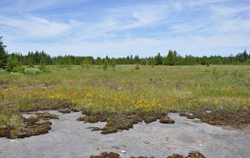
Invasive Species Inventory and Monitoring
Invasive species have been a constant and grow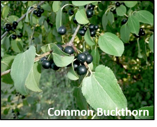 ing
concern in natural
resource management and conservation for over fifty years (Elton 1958).
Invasive species stresses to natural systems and biodiversity, as well
as the growing economic cost of controlling these species and
mitigating their negative impacts have become pronounced in the past
twenty years. Adaptive management, either tailored to detect and
eradicate invasive species and/or to reduce negative impacts to native
ecosystems, needs to be prioritized and based on sound inventory and
ing
concern in natural
resource management and conservation for over fifty years (Elton 1958).
Invasive species stresses to natural systems and biodiversity, as well
as the growing economic cost of controlling these species and
mitigating their negative impacts have become pronounced in the past
twenty years. Adaptive management, either tailored to detect and
eradicate invasive species and/or to reduce negative impacts to native
ecosystems, needs to be prioritized and based on sound inventory and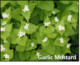 monitoring information. Management actions to control and reduce
invasive species must be based on comprehensive quantitative
and spatial data, otherwise they will be ad hoc at best. Inventory and
monitoring are needed to detect and monitor invasive species, measure
effectiveness of management actions, and develop appropriate management
practices.
monitoring information. Management actions to control and reduce
invasive species must be based on comprehensive quantitative
and spatial data, otherwise they will be ad hoc at best. Inventory and
monitoring are needed to detect and monitor invasive species, measure
effectiveness of management actions, and develop appropriate management
practices. Integrated inventory and monitoring efforts are required to systematically measure the extent and abundance of invasive species, but also associated responses of native flora and fauna. Inventory and monitoring information needs to be standard across spatial and temporal scales, yet be cost-effective and robust enough to support timely, adaptive and informed decision-making. The information also needs to be relatively easy to obtain, but yet reliable, systematic and scientifically rigorous.
VSP, as an comprehensive vegetation inventory and monitoring method, also collects information on the distribution and abundance of invasive plant species. VSP was designed and developed to support strategic, diverse and long-term vegetation management and conservation needs. VSP is an integrative, spatial and quantitative vegetation inventory and monitoring method that includes invasive species sampling.
Visit the Links Below for More Information:
- Creating an Invasive Plant Management Strategy: A Framework for Ontario Municipalities (PDF)
- Presentation: Integrating Invasive Plant Inventory into VSP Protocol and VSP Field Campaigns (Bradley & Puric-Mladenovic, 2012) (PDF)
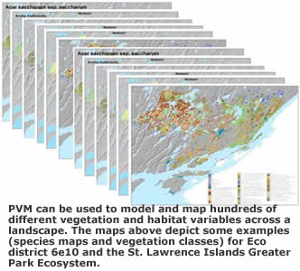
Vegetation and Forest Mapping
VSP's multi-functionality, standardized baseline data collection process, and precise record of spatial extent and location, enables field data to be transferred into diverse spatial formats and vegetation mapping products. In designing VSP, a primary objective was creating a protocol that would collect field information that could be used in combination with other spatial data to support vegetation mapping, primarily through predictive vegetation modelling (PVM).VSP supports 3 different forms of vegetation mapping:
- predictive vegetation mapping (PVM)
- polygon (stand/property) based vegetation and habitat mapping
- point (plot) based vegetation and habitat mapping
Stand/Property (a GIS Polygon) based inventory and mapping
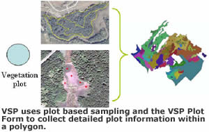 process
in a manner that
is standardized, statistically based and compatible with VSP data
standards, VSP also includes a protocol for polygon based
vegetation inventory and mapping. This protocol establishes plot
samples within digitized polygons. Plot based data can be extrapolated
across polygons, enabling polygon attribution with quantitative,
statistically valid data. The net result is polygon based vegetation
maps that can be standardized at either the plot or polygon level.
process
in a manner that
is standardized, statistically based and compatible with VSP data
standards, VSP also includes a protocol for polygon based
vegetation inventory and mapping. This protocol establishes plot
samples within digitized polygons. Plot based data can be extrapolated
across polygons, enabling polygon attribution with quantitative,
statistically valid data. The net result is polygon based vegetation
maps that can be standardized at either the plot or polygon level.Natural Heritage System (NHS) Design and Planning
Whether the goal of the NHS design is protection, restoration or a combination of the two, vegetation information represents a critical input for setting numerous conservation (e.g. biodiversity and functional) targets. Considering also that the final product of NHS design is a spatial output, the vegetation data used to support and inform the design must be in a spatial format as well.Vegetation information must also have complete coverage for the area of interest. Through supporting field data collection and vegetation mapping, VSP captures vegetation information that directly enables NHS design through GAP analysis, to set specific vegetation based conservation targets. Field information and vegetation maps are used as input variables alone or in combination with others to derive and map functional and conservation targets. For example, vegetation maps derived using VSP data serve as necessary input for mapping and/or modeling wildlife habitat, estimating carbon and biomass or ecological goods and services, hydrological modeling, etc. These variables can also be used to validate and assess NHS design.
Species at Risk (SAR) Protection and Recovery Planning
There are a number of ways VSP data can be used to support SAR protection and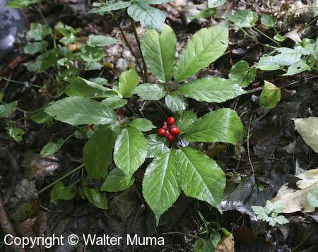 recovery planning. VSP data and PVM
can be used
to:
recovery planning. VSP data and PVM
can be used
to:- identify the location of SAR on the landscape based on their association with particular vegetation and habitat characteristics
- define species' habitat for protection
- monitor habitats and threats to SAR
- incorporate SAR protection and recovery into landscape planning and management
VSP and Forest Quantification
VSP also records tree measurements, to describe for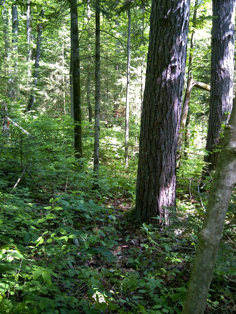 est
structure. Forest structure
refers to the organization of the physical and biological components of
a woodland, including the horizontal and vertical distribution of
forest layers, with an emphasis on tree attributes. It can be measured
in many different ways such as tree abundance, density, basal area,
canopy height and biomass.
est
structure. Forest structure
refers to the organization of the physical and biological components of
a woodland, including the horizontal and vertical distribution of
forest layers, with an emphasis on tree attributes. It can be measured
in many different ways such as tree abundance, density, basal area,
canopy height and biomass.VSP has adopted elements of the Ontario Forest Growth and Yield Program (OFGYP) data collection protocol. Thus many elements of the two programs match or closely resemble each other. VSP resembles OFGYP most closely in the methodology by which it collects tree data. For example, the VSP, like the OFGYP, collects information such as species, diameter at breast height (DBH), and representative tree height from standardized circular 400m2 plots.
VSP tree measurement information is used to support estimates of biomass and leaf area, carbon sequestration, forest type, and successional stage. The advantage of the VSP is that it gathers tree data in a fashion that is convenient for the user and yet amenable to various modeling applications. Analyses that combine field measurements with spectral information reduce the intensity of field data collection that is required on the ground, making estimates of forest biomass more efficient across landscapes.