The VSP Field Sampling Methodology
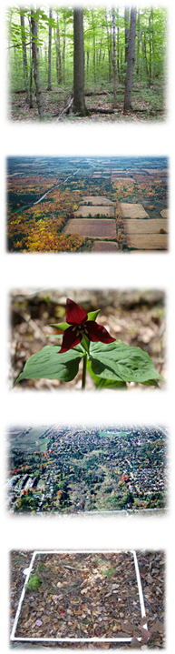
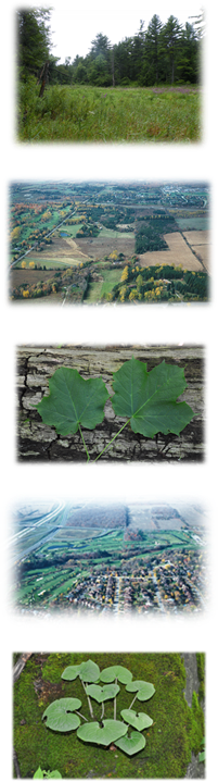
Vegetation Sampling Protocol (VSP) is designed to support science and research applications, but also to help practitioners efficiently collect scientifically sound, standardized, plot-based vegetation data that can support diverse applications and data needs. VSP is meant to be efficient and easy to conduct under field conditions. To ensure that this is the case, VSP has been extensively field tested, refined and enhanced over the past twenty years.VSP sampling methods, tools, and techniques are designed to support field data collection and the conversion of field information into a database format. A suite of field forms guide practitioners in collecting information in a logical and standard manner. Furthermore, the protocol only requires information which cannot be derived at a later date to be collected (i.e. some measures can be computed in the office once baseline information is collected), reducing the amount of time that needs to be spent in the field.
VSP is a Modular Protocol
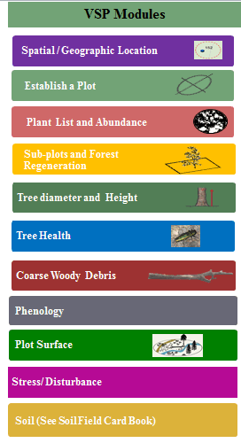
Some of the VSP Key Components
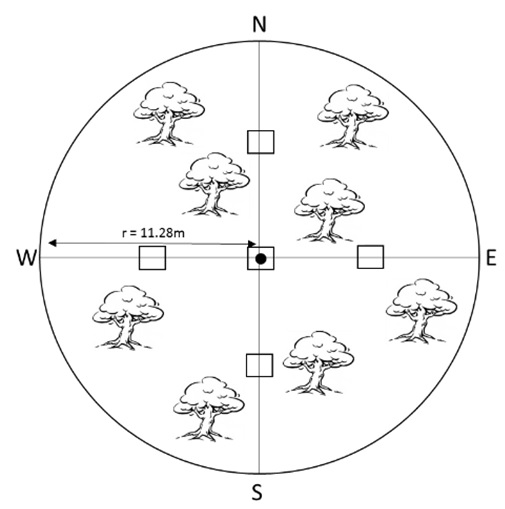 VSP Plot Design:
VSP uses geo-referenced fixed area 400m² circular plots (11.28m radius). Plot selection is typically randomized using a VSP grid to eliminate sampling bias.
Plant Cover / Abundance:
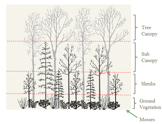
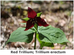
A complete inventory of all plants is conducted within a plot. Plant abundance is assessed by four layers of vertical strata: ground vegetation (<0.5m), shrubs (0.5-2m), sub-canopy (2-10m) and canopy (>10m).
 Tree Height and DBH:
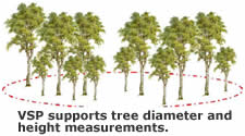
Within forested communities, VSP records the diameter at breast height (DBH) of all trees greater than 5cm in diameter. VSP also records the height of tree canopies, measuring 3 to 6 trees that represent the average height of canopy.
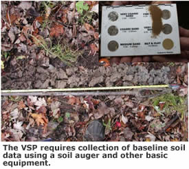
Soils: Soils are one of the most enduring features at a site, and VSP requires field practitioners to collect baseline soil data. Basic equipment only, such as a soil auger, is required to collect VSP soil data.
 Plot Surface
Features:
Plot Surface
Features:VSP requires practitioners to estimate the percent cover of certain features on the ground within a plot. This includes percent surface stone, leaf litter, woody debris, etc.
Topography / Physiography:
VSP captures information about the physiographic context of a site, such as the origins and processes that formed the larger topographic features (macro topography) and the characteristics of the topographic features at a site (micro topography).
 Hydrological Indicators:
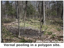
VSP captures variables that characterize wetland types or indicate periodic flooding, through recording features like vernal pooling and water marks.
Assigning a Plot to a Vegetation Type / Vegetation Class:
VSP can also be used to assign a vegetation community or appropriate ELC class code.
 VSP also offers a methodology that helps in recording detailed
information about species observed in the field, such as SAR,
invasive species or species of management concern.
VSP also offers a methodology that helps in recording detailed
information about species observed in the field, such as SAR,
invasive species or species of management concern. Other features in an area may need to be recorded for management purposes. For example, evidence of browsing or trails, which VSP facilitates.
Other Data:
VSP has additional modules which can be used to collect information on a diverse range of other topics such as regeneration, deadwood, tree health, and more.