What is Vegetation Sampling Protocol (VSP)?
VSP is a quantitative, integrative and adaptable method for sampling different vegetation types in the field. It can be used for both inventory and monitoring, and for either site-specific or landscape-level applications. It can be used for sampling forests, wetlands and grasslands.VSP uses fixed-area sampling methods that are practical, easy to implement and replicate, while being scientifically rigorous. It produces multipurpose, quantitative and standard information that can be used in a range of practical and research applications.
Inventory and Monitoring
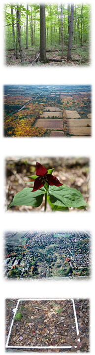
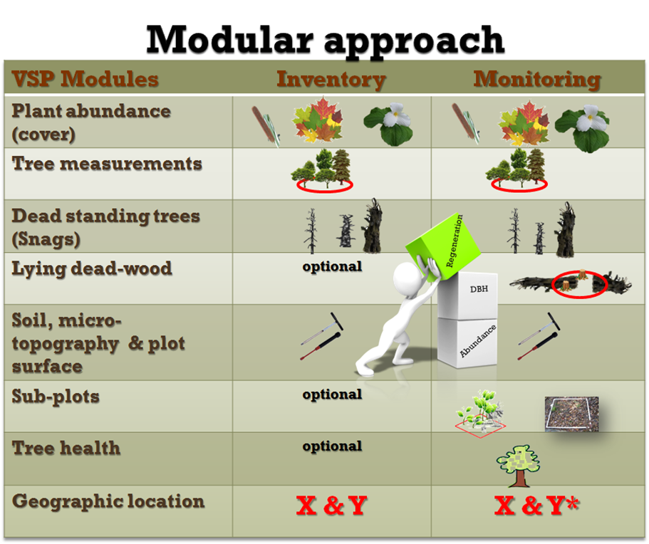
Land development pressures, various human activities, climate change, and invasive species incrementally and over time degrade the composition and structure of natural vegetation. Without vegetation inventory and monitoring, individual or cumulative effects of these impacts are hard to detect and quantify. VSP plots not only enable the status of vegetation to de defined, but they can also be used for monitoring to detect changes and trends in vegetation composition and structure.VSP is adjustable in terms of sampling intensity at a site and number of plots. While VSP sets a minimum data requirement when conducting an inventory, it can go beyond the basics to support a range of different monitoring applications. This is achieved through the modular nature of VSP that enables additional information at a sampled site to be collected. The type of the application and available resources dictate how many plots can be established across an area.
Click Here for information on VSP and Lake Simcoe Monitoring
Vegetation Information Needs
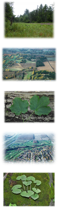
Planning, management and conservation actions in settled landscapes, require diverse information on the extent, composition, structure, and condition of vegetation communities.The limited resources available for field sampling demands that vegetation data be multipurpose, adaptive to diverse applications, and applicable at different spatial and temporal scales. In addition, to support adaptive management and planning, field data must be quantitative, standardized, and scientifically rigorous.
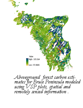
VSP combines proven and widely applied vegetation sampling standards. It is designed to integrate field data with spatial and /or remotely sensed information, to support diverse spatial analyses, modeling and mapping applications. VSP is based on rigorous sampling design, which enables the use of field information for various scientific and practical applications. VSP is also applicable to different vegetation types from forest to grasslands; from natural, semi-natural to anthropogenic communities; and from disturbed, early successional to late-seral communities.
VSP in the Field
While data collection standards are rigorous, VSP modules are easy to implement and not overwhelming for the user. VSP is designed to be practical and easy to carry out in the field.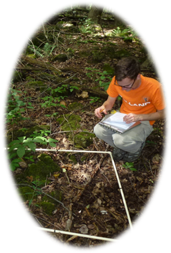
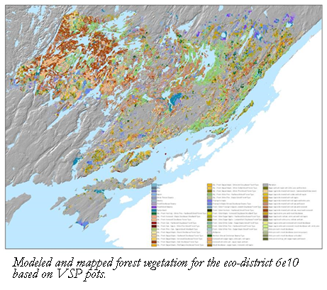
Mapping Applications
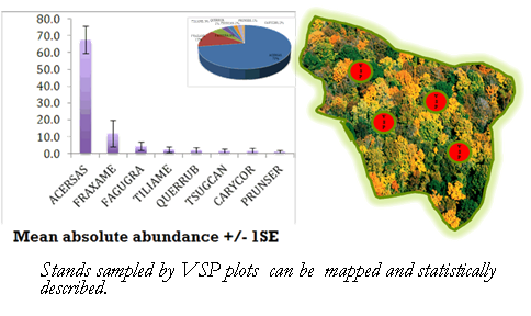
Other VSP Applications
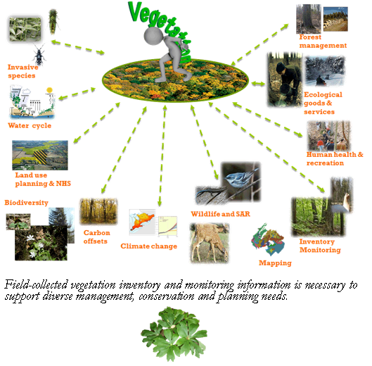
Some of the many applications of VSP’s scientifically valid, spatially explicit and multipurpose data, mapping and derivatives are:
- Estimates of ecological goods and services (Biomass and Carbon, Leaf area, etc.)
- Biodiversity and floristic quality measures
- Wildlife and species at risk (SAR) habitat protection and planning
- Habitat suitability modeling
- Natural heritage system (NHS) design and planning
- Landscape planning
- Environmental Assessment
- Invasive plant species monitoring and management
- Forest and vegetation management
- Natural resources status and trend reporting
- And much more