Home
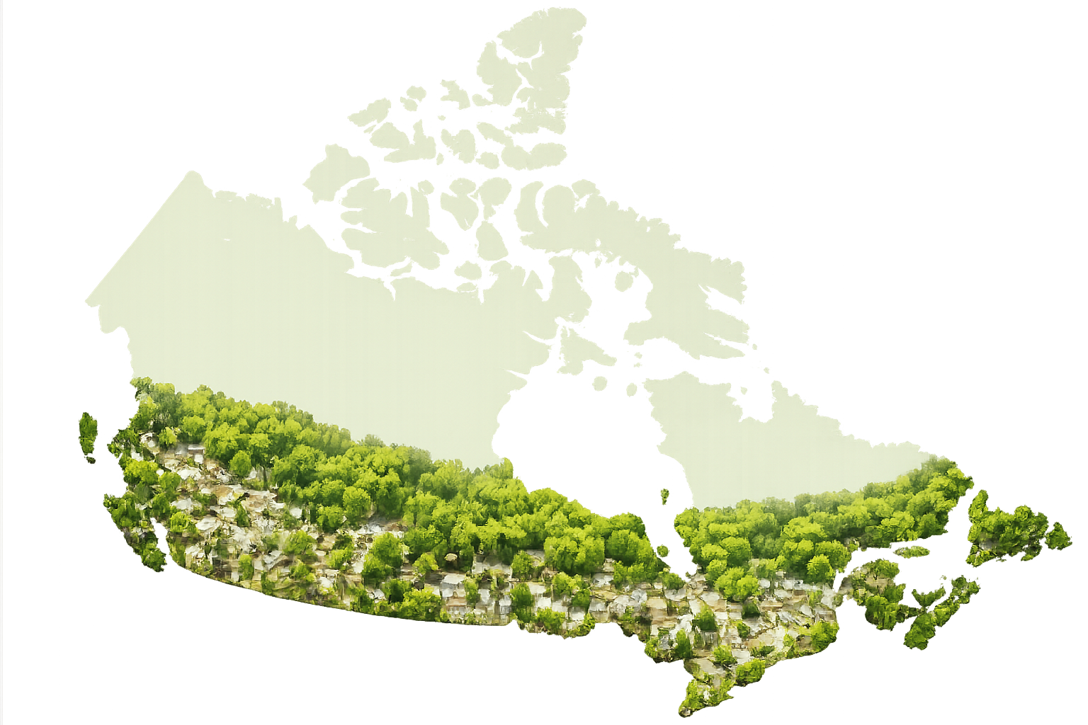
The Urban Forestry Footprint Mapping Project is the first Canadian initiative to quantify and map municipal urban forestry activities nationwide. It translates available information into accessible maps and graphs that make urban forestry work more visible across Canada.
The project highlights how municipalities manage, plan, and steward urban forests. It is intended to support practitioners, planners, researchers, stewardship groups, and anyone interested in the growth of urban forestry programs.
Both map versions are available here so visitors can explore change over time and compare urban forestry activities across municipalities.
What this site includes
About the Project
Background on the Urban Forestry Footprint initiative, project scope, and how the data can be used.
Interactive Maps (2025)
The updated Version 2.0 map and summary materials for the 2025 dataset.
Interactive Maps (2018)
The original Version 1.0 map and related background for the 2018 dataset.
Resources
Guides, downloadable PDFs, and instructions for navigating the maps.
Contact
Dr. Danijela Puric-Mladenovic
University of Toronto profile
Forests in Settled & Urban Landscapes
Forestry at John H. Daniels Faculty, University of Toronto